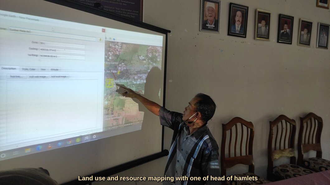
Global Land Alliance and Cadasta jointly fund and support Village Boundary Setting and Land Use Mapping Initiatives of Yayasan Puter Indonesia.

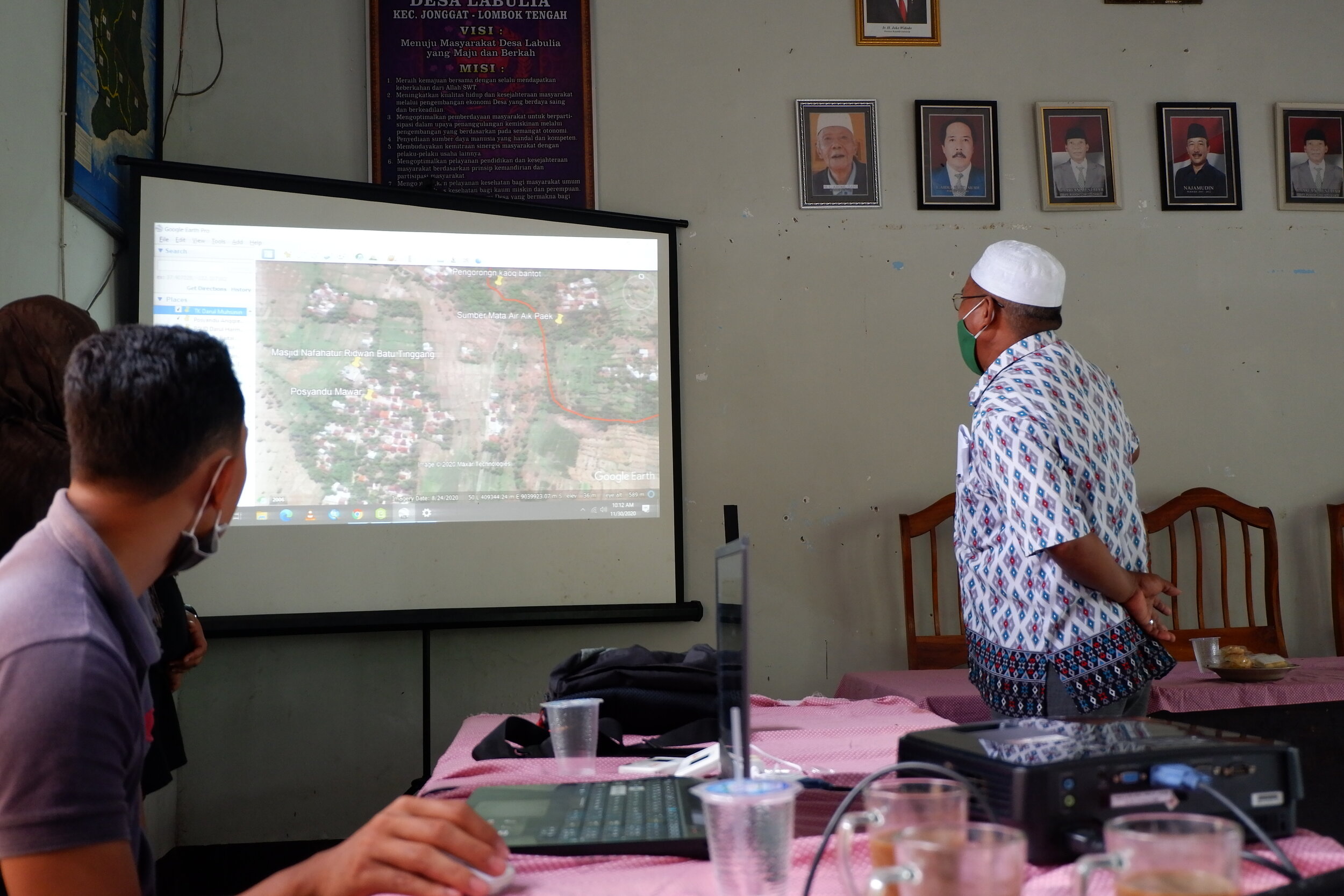
Global Land Alliance and Cadasta Foundation are pleased to announce joint funding to, and collaboration with, Yayasan Puter Indonesia (Puter) to support a Village Boundary Setting/Resource Mapping, Land Use Mapping and Community Sample Survey (VBS-RM/LUM/CSS) activity in Labulia Village in the Jonggat Sub-District of Lombok Indonesia. Global Land Alliance is a long-time partner of both organizations and is proud to be working with Cadasta and Puter to map land use and community resources in Labulia Village.
What Is Village Boundary Setting and Resource Mapping?
VBS/RM is a participatory approach to determining administrative village boundaries, which complies with Indonesian Government regulations and integrates international best practices of community
The VBS-RM/LUM/CSS activity will take place in three subsequent steps: (1) the Cadasta Data Accelerator Grant will support Puter to collect geographically-referenced cultural, natural resource, and land use data in Labulia Village, which consists of approximately 4,500 households, utilizing the Cadasta Platform and ESRI GIS technology; (2) a grant from Global Land Alliance will facilitate a survey of approximately 200 individuals to complete a community sampling survey of the village, and (3) Puter will conduct village boundary mapping early this year with funding from the District government.

In addition to the grant funds, the initiative will be supported by Cadasta’s data collection, data management, and data visualization tools. Cadasta will provide Puter with support and training on survey design, data collection, Cadasta Platform use, data storage and visualization, and evidentiary reporting. Puter will receive support in developing survey questions derived from the Global Land Alliance’s Prindex survey of perception of land tenure security.
Global Land Alliance also provided the technical assistance of GLA Associate Rubeta Andriani to support the development of the VBS-RM/LUM/CSS work plan, coordinate discussions with local government officials at the district and village governments, oversee field activities and final reporting.
This collaborative activity builds upon the work initiated under a Millennium Challenge Corporation and Millennium Challenge Account Indonesia Compact, which concluded in 2018, and can serve as a model which could support the Government of Indonesia’s Program to Accelerate Agrarian Reform (One Map Project) supported by the World Bank, by informing land rights and land use from a participatory and local level.
To learn more about past VBS/RM activities supported by Global Land Alliance, read here. To learn more about Cadasta Foundation’s Data Accelerator Grantees, read here.