Analysis & Commentary
This section contains articles written by Global Land Alliance staff and partners, on a variety of topics relating to land tenure, rights, and governance; spanning countries around the world.

Measuring Citizen Perceptions of Tenure Security: Test Surveys of the Global Land Rights Index (Prindex) in Tanzania, Colombia, and India
The Global Property Rights Index (PRIndex) initiative aims at filling gaps in basic data about citizen’s perception of the security of their property rights in a global comparative framework. Individuals’ perceptions are a basic and critical element of tenure security because they drive behavior, and critical data element because they illuminate how policies for tenure security are impacting citizens’ own understandings of their rights.

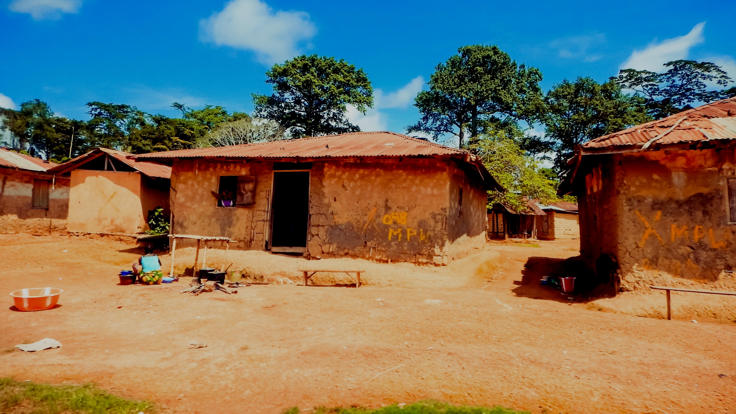
Promoting Rural Land Tenure Security in Haiti: Ensuring Community Participation and Engagement Through a Tailored Public Consultation Process
Public consultations prior to land tenure programs can be inclusive, gender-oriented, transparent and participatory processes that help set a similar tone for implementation. Public consultations provide an opportunity to explore environmental and social risks of a land program in a manner that puts stakeholders’ concerns at center stage and that can result in forms of participatory monitoring.

Promoting Rural Land Tenure in Haiti
Over the past month, CIAT (Haitian Inter ministerial Committee on Territorial Management) has implemented the public consultation process designed by Land Alliance to engage their target communities in a participatory process to establish a good-willed and transparent relationship between the communities and the project. The teams have held public consultation meetings at 14 different communal sections targeted in the project.

Land Tenure Security Intersects with Public Security: The Roles of Colombian National Police in Rural Restitution Process
Colombia’s internal war is Latin America’s oldest armed conflict, causing more than 200,000 casualties. Moreover, it has resulted in one of the world’s largest internal displacement phenomena in recent history, affecting an estimated five million people. In this context, land restitution is one of the biggest challenges facing Colombia’s road to peace.

Improving Accessibility and Security in Peruvian Property Registries
The Congress gathered renowned jurists and technical experts who shared their experiences in property registration matters and issues related to role of the registries in economic development and the need to implement new technologies to facilitate efficiency and transparency in property transactions and assure legal security to registry users.
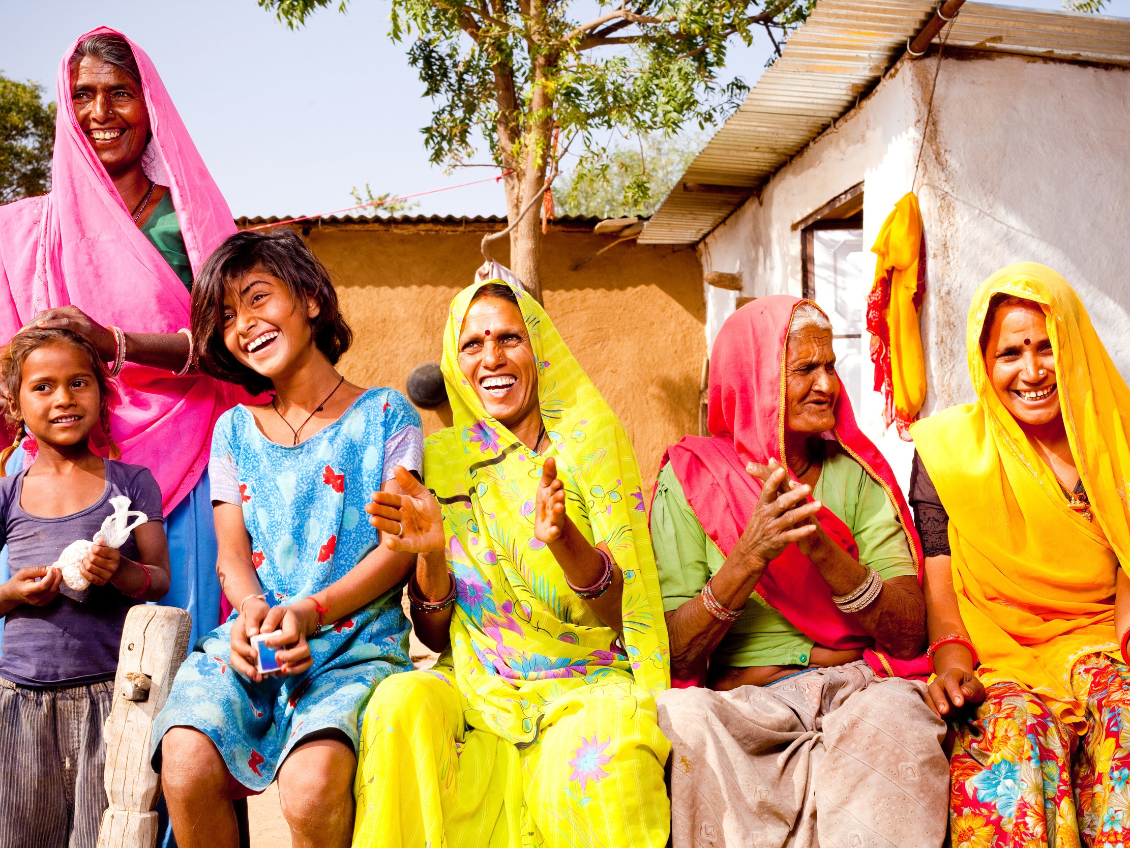
Women's Land Rights: An Emerging Focus
The theme of this year’s Association for Women´s Rights in Development Forum was the inter-sectoral nature of the women´s rights movement. Women´s rights encompass identity rights, social rights, political rights, and economic rights. Each element is intrinsically intertwined with the others and improvements in one sector produce effects in many others.

Invisibility: A Common Problem from Women in Common-Law Marriages in Rural Colombia
On June 24, 2016, Land Alliance team of international and Colombian gender, land tenure and legal specialists presented the findings and recommendations from a six-month study of the relationship between the registration of common-law marriages and obtaining secure property rights for women living in rural regions of Colombia.

Evaluating the Impact of Haiti's Rural Land Tenure Security Project
As transaction costs for formal transfer or sale of land represent between 25-45% of the sales value of the land and the process takes an average of 400 days to complete, most rural land owners in Haiti prefer to enter into informal agreements rather than obtaining formal title to land. As a result, informal, undocumented or not properly registered land rights are the norm and estimates show that 60% of all rural parcels have no formal property title.

Thinking About Scale in Land Information Systems
This week in Washington, D.C., the World Bank is hosting its Annual Conference on Land and Poverty, a professional meeting that has swelled considerably in the past five years. Attendee numbers have expanded to a downright packed 1,200 people from governments, development agencies, academia, nongovernmental organizations and technology firms.

The Nexus of Common Law Marriage and Land Rights
Marriage and divorce in Colombia can be difficult and expensive processes, which has led to a situation where possibly millions of rural Colombians are in long-term relationships that are not legally registered. This creates a problem when it comes to inheritance or rights to a family land parcel for one partner (usually the woman), if the head of household dies, leaves the relationship or leaves the area.

Drones for Land Rights
Of all the uses for Unmanned Aerial Vehicles — popularly known as UAVs or drones — their application for acquiring aerial imagery and geospatial data for use in securing land rights in the developing world may be one of the most valuable and lasting. UAVs hold the promise to help solve the developing world’s land rights problem, monitor logging and mining for both production and compliance, and give local people an affordable, accessible tool for securing their land rights and managing their natural and cultural resources.

Replacing Conflict with Formality in Rural Colombia
In the context of peace negotiations and a national initiative to transform the countryside, the Colombian government is revamping land tenure policy and considering major institutional reforms intended to lead to a massive intervention addressing the lingering informality of rural land rights. Through the Land and Rural Development Project (LRDP) funded by the United States Agency for International Development (USAID), LRDP and Land Alliance land tenure specialists are working together with local authorities to build the managerial and technical capacity of municipalities to manage land and use land information.

Supporting the 'Maintenance of Formality:' The Role of Colombian Municipalities
In what was once an epicenter of violence in rural Colombia, lives now a hopeful and welcoming community. Ovejas is a small rural municipality two and a half hours southeast of Cartagena, located in the state of Sucre. Through the Colombian Government’s Land and Rural Development Project (LRDP) funded by the United States Agency for International Development (USAID) and implemented by Tetra Tech

Property Rights and Global Development in Focus at New America Drone Summit
On July 22, Land Alliance played a central role in the New America Foundation’s “summit meeting” on drones: Drones and Aerial Observation: New Technologies for Property Rights, Human Rights and Global Development.

Early Lessons Learned From Testing UAVs for Geospatial Data Collection and Participatory Mapping
Revolutionary technological advances frequently face the most resistance from the very people in the technical fields that stand the most to gain from the advance. Change generates uncertainty and fear. Fear the “machines” will supplant the practitioners. It is no surprise, therefore, to see hesitation and reluctance by surveyors and traditional aerial mapping specialists in light of the rapidly increasing use of Unmanned Aerial Vehicle (UAV) technology for geospatial data collection.

Can We Bend the Curve on Land Governance by 2020?
The period 2015-2020 may become one of the most dynamic periods in the modern history of land tenure and governance, if we in the development community can get our act together and use a newfound consensus on prioritizing the resolution of land issues to address the biggest development challenges of our time.